The Manawatu region presents a layered challenge for earthworks. Beneath Palmerston North, the Rangitikei River system left behind deep deposits of silts, sands, and gravels interbedded with softer alluvium. Cut faces in these materials can stand steep for a short time, but rainfall changes everything. A 2011 study by Massey University mapped over 300 shallow landslides in the wider Manawatu-Whanganui area triggered by a single storm event, most occurring in loess-derived soils overlying less permeable layers. Our team runs stability models calibrated to these local profiles. Before opening a cut deeper than 3 meters near the Tararua foothills, we often pair the analysis with test pits to confirm the contact between loess and underlying gravels, and CPT testing where access allows continuous profiling of the terrace deposits.
Loess-derived soils in Palmerston North can lose over 60% of their apparent cohesion when saturated — residual strength governs long-term stability.
Technical details of the service in Palmerston North
Critical ground factors in Palmerston North
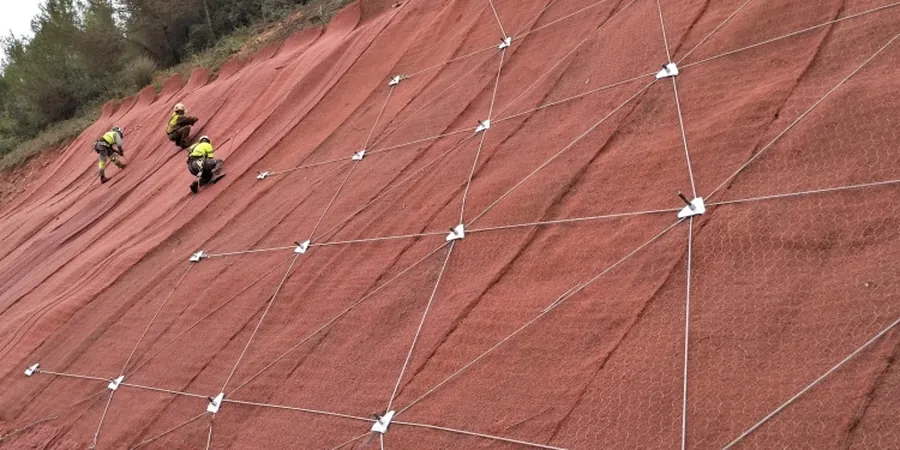
Palmerston North expanded steadily onto the river terraces after the railway arrived in the 1880s, and later into the hillier terrain toward Summerhill and Aokautere. Those hillside subdivisions cut into loess-mantled slopes that had been stable under pasture for centuries. The problem is time-dependent: a cut face weathers. Loess shrinks and cracks in summer; winter rain fills the cracks and triggers slumping. We have inspected slopes where the failure surface tracked exactly along a buried soil horizon — a thin clay band barely 30 millimeters thick. Ignoring that layer in a model would give a factor of safety above 2.0, yet the slope still fails. Our analysis maps these weak horizons explicitly. Where the risk of block failure is high, we integrate the findings with retaining wall design parameters so the remediation matches the actual driving forces.
Our services
The slope stability analysis package we deliver for Palmerston North sites covers the full workflow from subsurface investigation to remediation parameters. Each component ties directly to the local geology.
Limit equilibrium stability modeling
We build 2D cross-sections from borehole and CPT logs and run Spencer and Morgenstern-Price analyses. Output includes the critical failure surface, factor of safety for static and seismic cases, and sensitivity to groundwater rise.
Residual and peak strength testing
Multistage triaxial and ring shear tests on undisturbed samples from the slope. We focus on the drained residual friction angle of clay seams and the cohesion intercept of the loess in its in-situ moisture condition.
Cut and fill recommendations
Safe batter angles, bench widths, and drainage measures tailored to the terrace stratigraphy. We specify subsoil drains where perched water on paleosol layers is identified.
Frequently asked questions
What does a slope stability analysis cost for a residential site in Palmerston North?
For a typical residential cut or fill slope in the Manawatu, the analysis ranges between NZ$2,180 and NZ$6,860 depending on the number of cross-sections, the soil testing required, and whether seismic assessment is needed for building consent.
When does the council require a slope stability report for a building consent?
Palmerston North City Council generally requires a report when cuts exceed 1.5 meters in height or when building within the 'Hazardous Building Area' overlay zones, particularly in the hill suburbs where loess instability is a known issue.
How do you account for the Manawatu loess behaviour in the analysis?
We sample the loess in Shelby tubes to preserve its structure and test it at natural moisture content. The analysis uses a bilinear strength envelope—peak strength for the upper unsaturated zone and fully softened or residual strength at the base where saturation occurs on the paleosol contact.