A developer client arrived with a site on the old river terraces near Hokowhitu—flat ground, compact-looking gravels. The council’s regional hazard map painted the entire block as uniform risk. That’s rarely the whole story here. Palmerston North sits on a deep sedimentary basin where the Manawatu River has reworked deposits for millennia, and the impedance contrast between stiff Pleistocene gravels and softer Holocene silts can amplify shaking in ways a generic map misses. Seismic microzonation resolved it: we identified a 12-metre-thick lens of loose alluvium that pushed the site from Site Class C to D under NZS 1170.5. That single finding changed the structural design forces by over 25%. When the liquefaction potential and basin-edge effects are mapped at block scale, you stop guessing and start engineering.
A uniform hazard map is a starting point, not a design basis. Site-specific microzonation in the Manawatu basin often reveals Site Class shifts that generic maps miss.
Technical details of the service in Palmerston North
Critical ground factors in Palmerston North
Palmerston North’s seismic hazard is genuine—the city sits less than 100 km from the Hikurangi subduction margin and within shaking distance of the Wellington fault system. But the risk that catches projects off guard isn’t just the shaking; it’s the assumption that a desktop study is enough. We’ve reviewed sites where the regional model suggested “firm ground” and the borehole log showed 4 metres of loose sandy fill over soft floodplain silt. That profile, when you run the numbers, can amplify short-period spectral accelerations by 40–50% relative to the code’s default Site Class C spectrum. A seismic microzonation study removes that blind spot. It also protects against future liability: under the Building Act 2004, the consenting authority can request a site-specific hazard assessment if the regional map is ambiguous. Getting it done before the resource consent submission keeps the project timeline intact and the structural design grounded in measured data, not regional interpolation.
Our services
A seismic microzonation study in Palmerston North pulls together several investigation methods. The core services we deploy depend on the site’s mapped susceptibility and the structural typology proposed.
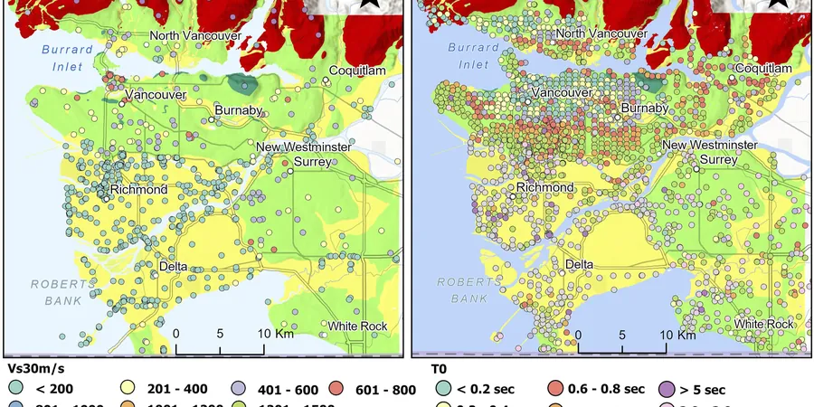
Vs30 Site Classification Campaign
We execute active and passive MASW arrays calibrated with downhole seismic in cored boreholes. The output is a geospatial grid of Vs30 values and NZS 1170.5 site class boundaries across the project area, ready for the structural engineer’s seismic load derivation.
Liquefaction Microzonation Mapping
Using CPT soundings and SPT boreholes, we apply the MBIE/NZGS Module 4 triggering procedures to map liquefaction severity index and lateral spreading displacement across the site. This directly informs ground improvement decisions and foundation type selection.
Frequently asked questions
How much does a seismic microzonation study cost for a Palmerston North development?
The fee typically ranges from NZ$6,830 to NZ$28,580 depending on site area, number of investigation points, and the complexity of the basin geology. A small commercial lot with two MASW lines and one calibration borehole is at the lower end. A multi-hectare subdivision requiring a grid of CPTs, downhole seismic, and 1D site response analysis for several representative profiles will be higher. We provide a fixed-price proposal after reviewing the project brief and the council’s hazard map notation.
How does a microzonation study differ from the regional hazard maps the council provides?
Regional maps—like those from the Palmerston North City Council or Horizons Regional Council—rely on geological unit mapping and broad-scale geophysical surveys. They’re screening tools, not design documents. A site-specific microzonation measures shear-wave velocity directly at your site and drills to verify the stratigraphy. It can identify thin, soft horizons that a regional map will never resolve, and it produces design ground motions tailored to your property rather than a conservative envelope from a polygon.
What’s the typical timeline for delivering the results of a seismic microzonation?
Fieldwork usually takes 2–5 working days depending on the number of geophysical lines and boreholes. Once the lab testing on recovered samples is complete, we deliver the interpretive report with Vs30 maps, site class delineation, and ground motion parameters within 3–4 weeks from the last day on site. Faster turnaround is possible if the structural design team needs preliminary site class data early—we can issue an interim letter report with key parameters.